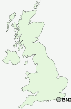
Postcode : BN23 6TH, East Sussex
Harold Drive, Eastbourne, East Sussex.


Classification
BN23 6TH : Hard-pressed living / Migration and churn / Hard-pressed ethnic mix
Local Authority Eastbourne
Primary Care Trust East Sussex Downs and Weald
Ward Sovereign
Constituency Eastbourne
Region South East
Country England
Postcode Area BN : Brighton
BN23 Postcode Sectors
BN23 6TH Nearby Postcode Districts
BN10 BN20 BN21 BN22 BN23 BN24 BN25 BN26 BN27 BN7 BN9 TN34 TN35 TN37 TN38 TN39 TN40
Stations near to BN23 6TH
Hampden Park (Sussex) Rail Station about 1.66 miles away.Pevensey & Westham Rail Station about 1.69 miles away.
Pevensey Bay Rail Station about 2.1 miles away.
Eastbourne Rail Station about 2.2 miles away.
BN23 6TH Schools
Tollgate Community Junior SchoolLangney Primary School
West Rise Community Infant School
West Rise Junior School
Roselands Infants' School
Shinewater Primary School
Stafford Junior School
Highfield Junior School
Bourne Primary School
Causeway School
UK Search
Antique Clocks
Browse Antique Clocks for sale from British antique dealers.