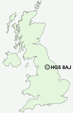
Postcode : HG5 8AJ, Knaresborough, North Yorkshire
Silver Street, Knaresborough.
HG5 8AJ close to Calcutt, Forest Moor and Scriven.


Classification
HG5 8AJ : Constrained city dwellers / Challenged diversity / Hampered aspiration
Local Authority Harrogate
Primary Care Trust North Yorkshire and York
Ward Knaresborough King James
Constituency Harrogate and Knaresborough
Region Yorkshire and The Humber
Country England
Postcode Area HG : Harrogate
HG5 Postcode Sectors
HG5 0 Allerton Mauleverer, Arkendale, Coneythorpe, Ferrensby, Flaxby
HG5 8 Calcutt, Forest Moor, Goldsborough, Hopperton
HG5 8 Calcutt, Forest Moor, Goldsborough, Hopperton
HG5 8AJ Nearby Postcode Districts
HG1 HG2 HG3 HG5 LS21 LS22 LS29 YO23 YO24 YO26 YO30 YO51
Stations near to HG5 8AJ
Knaresborough Rail StationStarbeck Rail Station about 1.55 miles away.
HG5 8AJ Schools
Knaresborough St John's CofE Primary SchoolKing James's School
St Mary's Catholic Primary School, Knaresborough
Knaresborough, Meadowside Community Primary School
Knaresborough, Aspin Park Community Primary School
Starbeck Community Primary School
Hookstone Chase Community Primary School
Scotton Lingerfield Community Primary School
UK Search
Antique Jewellery
including Antique Engagement Rings for sale from UK Antique specialists.