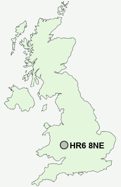
Postcode : HR6 8NE, Leominster, County Of Herefordshire, Herefordshire
Church Street, Leominster.
HR6 8NE close to Leominster, Marsh, The, Eaton, Ryelands, Broad and The.


Classification
HR6 8NE : Constrained city dwellers / Challenged diversity / Transitional Eastern European neighbourhood
Local Authority Herefordshire, County of
Primary Care Trust Herefordshire
Ward Leominster East
Constituency North Herefordshire
Region West Midlands
Country England
Postcode Area HR : Hereford
HR6 Postcode Sectors
HR6 9 Arrow Green, Aston, Aymestrey, Barons' Cross, Bearwood
HR6 0 Ashton, Aulden, Bircher, Brierley, Broad, The
HR6 0 Ashton, Aulden, Bircher, Brierley, Broad, The
HR6 8NE Nearby Postcode Districts
Stations near to HR6 8NE
Leominster Rail Station about 0.37 miles away.HR6 8NE Schools
Earl Mortimer College and Sixth Form CentreLeominster Junior School
Leominster Infants' School
UK Search
Antique Jewellery
including Antique Engagement Rings for sale from UK Antique specialists.