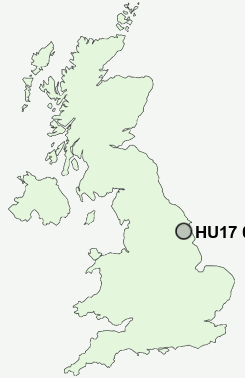
Postcode : HU17 0AA, Beverley, East Riding Of Yorkshire
Butcher Row, Beverley.
HU17 0AA close to Grovehill, Hurn and Molescroft.


Classification
HU17 0AA : Constrained city dwellers / Challenged diversity / Hampered aspiration
Local Authority East Riding of Yorkshire
Primary Care Trust East Riding of Yorkshire
Ward St Mary's
Constituency Beverley and Holderness
Region Yorkshire and The Humber
Country England
Postcode Area HU : Hull
HU17 Postcode Sectors
HU17 7 Arram, Cherry Burton, Etton, Gardham, Holme on the Wolds
HU17 8 Bentley, Bishop Burton, Walkington
HU17 0 Beverley, Grovehill, Thearne, Weel, Woodmansey
HU17 8 Bentley, Bishop Burton, Walkington
HU17 0 Beverley, Grovehill, Thearne, Weel, Woodmansey
HU17 0AA Nearby Postcode Districts
HU1 HU10 HU11 HU15 HU16 HU17 HU18 HU2 HU20 HU3 HU5 HU6 HU7 HU8 HU9 YO42 YO43
Stations near to HU17 0AA
Beverley Rail StationArram Rail Station about 2.94 miles away.
HU17 0AA Schools
Beverley High SchoolBeverley Minster Church of England Voluntary Controlled Primary School
Beverley St Nicholas Community Primary School
Keldmarsh Primary School
Swinemoor Primary School
St Mary's Church of England Voluntary Controlled Primary School, Beverley
St John of Beverley Roman Catholic Primary School, Beverley
Beverley Grammar School
Molescroft Primary School
Longcroft School and Sixth Form College
Woodmansey Church of England Voluntary Controlled Primary School
UK Search
Antique Jewellery
including Antique Engagement Rings for sale from UK Antique specialists.