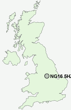
Postcode : NG16 5HZ, Eastwood, Nottinghamshire
Palmerston Street, Westwood, Nottingham.
NG16 5HZ close to Westwood, Barrows Green, Jacksdale, Dove Green, New Brinsley and Selston Green.


Classification
NG16 5HZ : Hard-pressed living / Industrious communities / Industrious hardship
Local Authority Ashfield
Primary Care Trust Nottinghamshire County Teaching
Ward Jacksdale
Constituency Ashfield
Region East Midlands
Country England
Postcode Area NG : Nottingham
NG16 Postcode Sectors
NG16 4 Aldercar, Langley Mill, Woodlinkin
NG16 6 Alma, Dove Green, Pinxton, Selston, Selston Common
NG16 2 Awsworth, Babbington, Beauvale, Cossall, Cossall Marsh
NG16 6 Alma, Dove Green, Pinxton, Selston, Selston Common
NG16 2 Awsworth, Babbington, Beauvale, Cossall, Cossall Marsh
NG16 5 Bagthorpe, Barrows Green, Brinsley, Codnor Park, Friezeland
NG16 1 Bogend, Nuthall, Watnall
NG16 3 Eastwood, Eastwood Hall, Hill Top, New Eastwood, Shipley Gate
NG16 1 Bogend, Nuthall, Watnall
NG16 3 Eastwood, Eastwood Hall, Hill Top, New Eastwood, Shipley Gate
NG16 5HZ Nearby Postcode Districts
DE4 DE5 DE55 DE56 DE6 DE7 DE75 NG14 NG15 NG16 NG17 NG18 NG19 NG21 NG25 NG3 NG4 NG5 NG6 NG8
Stations near to NG16 5HZ
Langley Mill Rail Station about 3.11 miles away.Alfreton Rail Station about 3.13 miles away.
NG16 5HZ Schools
Westwood Infant and Nursery SchoolJacksdale Primary and Nursery School
Selston Arts and Community College
Bagthorpe Primary School
Holly Hill Primary and Nursery School
Brinsley Primary and Nursery School
Longwood Community Infant School
UK Search
Antique Furniture
1000s of pieces of Antique Furniture for sale from British antique dealers.