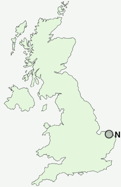
Postcode : NR11 6ER, Aylsham, Norfolk
Red Lion Street, Aylsham, Norwich.
NR11 6ER close to Millgate and Dunkirk.


Classification
NR11 6ER : Urbanites / Ageing urban living / Self-sufficient retirement
Local Authority Broadland
Primary Care Trust Norfolk
Ward Aylsham
Constituency Broadland
Region Eastern
Country England
Postcode Area NR : Norwich
NR11 Postcode Sectors
NR11 7 Alby Hill, Aldborough, Banningham, Barningham Green, Bessingham
NR11 8 Aylmerton, Cliftonville, East Beckham, Felbrigg, Gimingham
NR11 8 Aylmerton, Cliftonville, East Beckham, Felbrigg, Gimingham
NR11 6ER Nearby Postcode Districts
NR10 NR11 NR12 NR20 NR21 NR22 NR24 NR28
NR11 6ER Schools
Aylsham, St Michael's Church of England Voluntary Aided Nursery and Infant SchoolAylsham High School
John of Gaunt Infant and Nursery School
Bure Valley School
Marsham Primary School
UK Search
Antique Furniture
1000s of pieces of Antique Furniture for sale from British antique dealers.