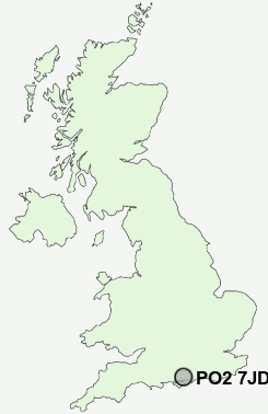
Postcode : PO2 7JD, Portsmouth, Hampshire
Powerscourt Road, Portsmouth.
PO2 7JD close to Landport, Kingston, Portsmouth, Stamshaw and North End.


Classification
PO2 7JD : Ethnicity central / Ethnic dynamics / Constrained neighbourhoods
Local Authority Portsmouth
Primary Care Trust Portsmouth City Teaching
Ward Nelson
Constituency Portsmouth North
Region South East
Country England
Postcode Area PO : Portsmouth
PO2 Postcode Sectors
PO2 7JD Nearby Postcode Districts
PO1 PO10 PO11 PO12 PO13 PO14 PO15 PO16 PO17 PO18 PO19 PO2 PO20 PO21 PO3 PO31 PO32 PO33 PO34 PO4 PO5 PO6 PO7 PO8 PO9 SO14 SO19 SO31 SO45
Stations near to PO2 7JD
Portsmouth & Southsea Rail Station about 1.07 miles away.Fratton Rail Station about 1.1 miles away.
Hilsea Rail Station about 1.43 miles away.
Portsmouth Harbour Rail Station about 1.63 miles away.
Southsea Hoverport about 2.06 miles away.
Cosham Rail Station about 2.13 miles away.
Portchester Rail Station about 3.22 miles away.
PO2 7JD Schools
Charles Dickens Infant SchoolCharles Dickens Junior School
City of Portsmouth Girls' School
Mayfield School
Priory School (Specialist Sports College)
Admiral Lord Nelson School
Bramble Infant School and Nursery
UK Search
Antique Furniture
1000s of pieces of Antique Furniture for sale from British antique dealers.