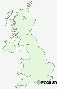
Postcode : PO36 8DA, Sandown, Isle Of Wight, Isle Of Wight
High Street, Sandown.
PO36 8DA close to Sandown, Adgestone, Lake and Merrie Gardens.


Classification
PO36 8DA : Constrained city dwellers / Challenged diversity / Hampered aspiration
Local Authority Isle of Wight
Primary Care Trust Isle of Wight National Health Service
Ward Sandown South
Constituency Isle of Wight
Region South East
Country England
Postcode Area PO : Portsmouth
PO36 Postcode Sectors
PO36 9 Adgestone, Lake, Merrie Gardens, Sandown
PO36 0 Alverstone, Apse Heath, Brading, Branstone, Morton
PO36 0 Alverstone, Apse Heath, Brading, Branstone, Morton
PO36 8DA Nearby Postcode Districts
PO30 PO31 PO32 PO33 PO34 PO35 PO36 PO37 PO38 PO39 PO40 PO41
Stations near to PO36 8DA
Sandown Rail Station about 0.38 miles away.Lake (Isle of Wight) Rail Station about 0.7 miles away.
Shanklin Rail Station about 1.74 miles away.
Brading Rail Station about 1.85 miles away.
PO36 8DA Schools
St John's Church of England Primary School SandownSandown Church of England Primary School
Sandham Middle School
Sandown High School
Lake Middle School
Broadlea Primary School
Gatten and Lake Primary School
Brading Church of England Controlled Primary School
UK Search
Antique Furniture
1000s of pieces of Antique Furniture for sale from British antique dealers.