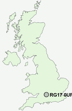
Postcode : RG17 0UP, Templeton, West Berkshire, Berkshire
Hungerford, Berkshire, England.
RG17 0UP close to Templeton, Hungerford and Sanham Green.


Classification
RG17 0UP : Rural residents / Rural tenants / Rural white-collar workers
Local Authority West Berkshire
Primary Care Trust Berkshire West
Ward Hungerford
Constituency Newbury
Region South East
Country England
Postcode Area RG : Reading
RG17 Postcode Sectors
RG17 0 Anvilles, Avington, Bagshot, Chilton Foliat, Crooked Soley
RG17 9 Clapton, Combe, Hell Corner, Inkpen, Kintbury
RG17 9 Clapton, Combe, Hell Corner, Inkpen, Kintbury
RG17 0UP Nearby Postcode Districts
RG14 RG17 RG18 RG19 RG20 RG26 RG8 SN8 SN9
Stations near to RG17 0UP
Hungerford Rail Station about 0.75 miles away.RG17 0UP Schools
John O'Gaunt SchoolHungerford Primary School
UK Search
Antique Furniture
1000s of pieces of Antique Furniture for sale from British antique dealers.