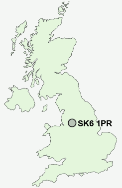
Postcode : SK6 1PR, Marple, Stockport, Greater Manchester
Woodley, Stockport, Greater Manchester.
SK6 1PR close to Romiley, Woodley, Greave and Castle Hill.


Classification
SK6 1PR : Urbanites / Urban professionals and families / White professionals
Local Authority Stockport
Primary Care Trust Stockport
Ward Bredbury and Woodley
Constituency Hazel Grove
Region North West
Country England
Postcode Area SK : Stockport
SK6 Postcode Sectors
SK6 2 Arden Park, Bredbury, Castle Hill, Lower Bredbury
SK6 3 Bredbury Green, Bunkers Hill
SK6 6 Chadkirk, Ley Hey Park, Marple
SK6 4 Cherry Tree, Greave, Romiley
SK6 3 Bredbury Green, Bunkers Hill
SK6 6 Chadkirk, Ley Hey Park, Marple
SK6 4 Cherry Tree, Greave, Romiley
SK6 5 Compstall, Lane Ends, Marple Bridge, Mellor, Mill Brow
SK6 7 Hawk Green, Marpleridge, Strines
SK6 8 High Lane, Windlehurst
SK6 1 Woodley
SK6 7 Hawk Green, Marpleridge, Strines
SK6 8 High Lane, Windlehurst
SK6 1 Woodley
SK6 1PR Nearby Postcode Districts
M1 M11 M12 M13 M14 M15 M16 M17 M18 M19 M2 M20 M21 M22 M23 M25 M27 M28 M29 M3 M30 M31 M32 M33 M34 M35 M4 M40 M41 M43 M44 M46 M5 M6 M60 M7 M8 M9 M90 OL5 OL6 OL7 OL8 S33 SK1 SK12 SK13 SK14 SK15 SK16 SK2 SK22 SK3 SK4 SK5 SK6 SK7 SK8 WA13 WA14 WA15
Stations near to SK6 1PR
Bredbury Rail Station about 0.84 miles away.Hyde Central Rail Station about 1.56 miles away.
Brinnington Rail Station about 1.72 miles away.
Godley Rail Station about 2.2 miles away.
Flowery Field Rail Station about 2.27 miles away.
Denton Rail Station about 2.44 miles away.
Hyde North Rail Station about 2.44 miles away.
Guide Bridge Rail Station about 3.21 miles away.
SK6 1PR Schools
Manor Green Primary and Nursery SchoolCorrie Primary School
Leigh Primary School
Greswell Primary School and Nursery
Linden Road Primary School and Hearing Impaired Resource Base
UK Search
Antique Furniture
1000s of pieces of Antique Furniture for sale from British antique dealers.