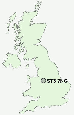
Postcode : ST3 7NG, Leadendale, Stoke-on-Trent, Staffordshire
Stoke-on-Trent, Staffordshire, England.
ST3 7NG close to Leadendale, Rough Close, Hartwell and Meir Heath.


Classification
ST3 7NG : Rural residents / Rural tenants / Rural white-collar workers
Local Authority Stafford
Primary Care Trust South Staffordshire
Ward Fulford
Constituency Stone
Region West Midlands
Country England
Postcode Area ST : Stoke on Trent
ST3 Postcode Sectors
ST3 5 Adderley Green, Hulme, Sandford Hill, Weston Coyney
ST3 3 Blurton, Newstead
ST3 4 Dresden, Florence, Hartwell
ST3 3 Blurton, Newstead
ST3 4 Dresden, Florence, Hartwell
ST3 2 Heron Cross, Hollybush, Longton
ST3 7 Leadendale, Lightwood, Meir Heath, Normacot, Rough Close
ST3 6 Meir
ST3 7 Leadendale, Lightwood, Meir Heath, Normacot, Rough Close
ST3 6 Meir
ST3 7NG Nearby Postcode Districts
CW3 DE6 ST1 ST10 ST11 ST12 ST14 ST15 ST2 ST21 ST3 ST4 ST5 ST9 TF9
Stations near to ST3 7NG
Longton Rail Station about 2.76 miles away.Stone Rail Station about 3.4 miles away.
ST3 7NG Schools
Meir Heath Primary SchoolSandon Business and Enterprise College
Grange Primary School
Newstead Primary School
Alexandra Junior School
UK Search
Antique Furniture
1000s of pieces of Antique Furniture for sale from British antique dealers.