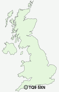
Postcode : TQ9 5XN, Totnes, Devon
Totnes, Devon.
TQ9 5XN close to Bridgetown, Longcause and Swallowfields.


Classification
TQ9 5XN : Hard-pressed living / Hard pressed ageing workers / Ageing industrious workers
Local Authority South Hams
Primary Care Trust Devon
Ward Totnes
Constituency Totnes
Region South West
Country England
Postcode Area TQ : Torquay
TQ9 Postcode Sectors
TQ9 7 Abbotsleigh, Allaleigh, Ashprington, Blackawton, Bow
TQ9 6 Aish, Belsford, Berry Pomeroy, Broadhempston, Cott
TQ9 6 Aish, Belsford, Berry Pomeroy, Broadhempston, Cott
TQ9 5XN Nearby Postcode Districts
PL21 PL7 TQ1 TQ10 TQ11 TQ12 TQ2 TQ3 TQ4 TQ5 TQ6 TQ9
Stations near to TQ9 5XN
Totnes Rail Station about 0.28 miles away.TQ9 5XN Schools
The Grove SchoolTotnes St John's Church of England Primary School
King Edward VI Community College
Park School
Berry Pomeroy Parochial Church of England Primary School
Dartington Church of England Primary School
UK Search
Antique Furniture
1000s of pieces of Antique Furniture for sale from British antique dealers.