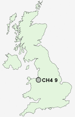
Postcode : CH4 9, Flintshire, Cheshire
Postcodes in the CH4 9 district. Covering areas such as Gorstella, Lower Kinnerton, Lavister, Poulton, Kinnerton Green, Belgrave, Roughhill, Dodleston, Balderton, Higher Kinnerton, Pulford, Eaton Hall and Flintshire in Cheshire, Wrexham.
Postcode Area CH : Chester
CH4 Postcode Sectors
CH4 9 Balderton, Belgrave, Dodleston, Eaton Hall, Gorstella
CH4 0 Bretton, Broughton, Old Warren, Penyffordd, Penymynydd
CH4 0 Bretton, Broughton, Old Warren, Penyffordd, Penymynydd
CH4 9 Nearby Postcode Districts
CH1 CH2 CH3 CH4 CH5 CH6 CH7 CW6 CW7 CW8 LL11 LL12 LL15
Stations near to CH4 9
Chester Rail Station about 3.29 miles away.CH4 9 Schools
The King's SchoolLache Primary School
St Clare's Catholic Primary School
Belgrave Primary School
Dodleston CofE Primary School
UK Search
Antique Clocks
Browse Antique Clocks for sale from British antique dealers.