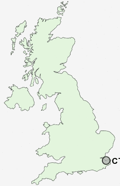
Postcode : CT2, Kent
Postcodes in the CT2 sector. Covering areas such as Morehall, Pennypot, Harbledown, Seabrook, Newingreen, Lympne, Pedlinge, Sturry, Cheriton, Postling, Berwick, Hales Place, Broad Oak, Upper Harbledown, Court-at-Street and Kent.
Postcode Area CT : Canterbury
CT2 Postcode Sectors
CT2 Nearby Postcode Districts
CT1 CT10 CT11 CT12 CT13 CT14 CT2 CT3 CT4 CT5 CT6 CT7 CT8 CT9 ME10 ME13 ME9
Stations near to CT2
Canterbury West Rail Station about 0.67 miles away.Canterbury East Rail Station about 1.32 miles away.
Sturry Rail Station about 1.83 miles away.
CT2 Schools
St Stephen's Junior SchoolSt Stephen's Infant School
The Archbishop's School
Kingsmead Primary School
Parkside Community Primary School
Barton Court Grammar School
The Canterbury High School
Blean Primary School
Chaucer Technology School
Pilgrims' Way Primary School
Wincheap Foundation Primary School
UK Search
Antique Clocks
Browse Antique Clocks for sale from British antique dealers.