Postcode : DL13, County Durham
Postcodes in the DL13 sector. Covering areas such as Copthill, Green Head, Frosterley, Upper Town, Tow Law, Bedburn, Hamsterley, Esperley Lane Ends, High Stoop, Copley, Crawleyside, Wearhead, Thornley, Eastgate, New Ho and County Durham.
Postcode Area DL : Darlington
DL13 Postcode Sectors
DL13 3 Bedburn, Hamsterley, Upper Town, Wolsingham
DL13 2 Bollihope, Bridge End, Crawleyside, Eastgate, Frosterley
DL13 1 Brotherlee, Copthill, Cornriggs, Cowshill, Daddry Shield
DL13 2 Bollihope, Bridge End, Crawleyside, Eastgate, Frosterley
DL13 1 Brotherlee, Copthill, Cornriggs, Cowshill, Daddry Shield
DL13 5 Butterknowle, Cockfield, Copley, Esperley Lane Ends, Slack, The
DL13 4 East Hedleyhope, High Stoop, Inkerman, Satley, Sunniside
DL13 4 East Hedleyhope, High Stoop, Inkerman, Satley, Sunniside
DL13 Nearby Postcode Districts
DH1 DH7 DL13 DL14 DL15 DL16 DL4 DL5
Stations near to DL13
Frosterley Rail Station about 0.87 miles away.Stanhope Rail Station about 2.72 miles away.
DL13 Schools
Frosterley Primary School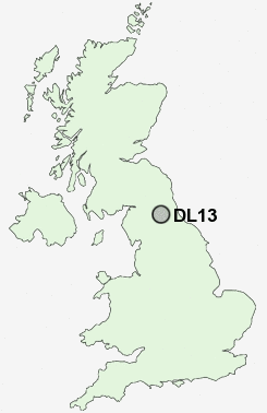
UK Search
Antique Jewellery
including Antique Engagement Rings for sale from UK Antique specialists.