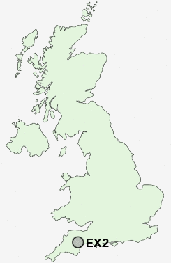
Postcode : EX2, Devon
Postcodes in the EX2 sector. Covering areas such as Trewint, Nethercott, Colyford, Marhamchurch, Shop, Sheepwash, Treskinnick Cross, Colyton, Bakesdown, Cross Roads, Honeychurch, Flexbury, Sutcombemill, Mineshope, Petrockstowe, Devon and Cornwall.
Postcode Area EX : Exeter
EX2 Postcode Sectors
EX2 Nearby Postcode Districts
EX1 EX10 EX11 EX2 EX3 EX4 EX5 EX6 EX8 EX9
Stations near to EX2
Exeter St Thomas Rail Station about 1.07 miles away.Exeter Central Rail Station about 1.34 miles away.
St James Park (Devon) Rail Station about 1.48 miles away.
Polsloe Bridge Rail Station about 1.61 miles away.
Exeter St Davids Rail Station about 1.76 miles away.
Digby & Sowton Rail Station about 1.92 miles away.
Pinhoe Rail Station about 2.83 miles away.
EX2 Schools
Isca College of Media ArtsWynstream School
West Exe School
Newtown Primary School
Alphington Primary School
Ladysmith Infant & Nursery School
Ladysmith Junior School
Montgomery Primary School
Countess Wear Community School
Clyst Heath Nursery and Community Primary School
UK Search
Antique Jewellery
including Antique Engagement Rings for sale from UK Antique specialists.