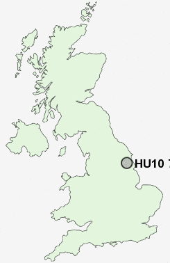
Postcode : HU10 7, East Riding Of Yorkshire
Postcodes in the HU10 7 district. Covering areas such as Anlaby, West Ella, Kirk Ella and East Riding of Yorkshire.
Postcode Area HU : Hull
HU10 Postcode Sectors
HU10 7 Nearby Postcode Districts
DN18 DN19 HU1 HU10 HU11 HU12 HU13 HU14 HU15 HU16 HU17 HU2 HU20 HU3 HU4 HU5 HU6 HU7 HU8 HU9 YO43
Stations near to HU10 7
Ferriby Rail Station about 2.72 miles away.Hessle Rail Station about 2.81 miles away.
HU10 7 Schools
Swanland Primary SchoolKirk Ella St Andrew's Community Primary School
Hull Collegiate School
Wolfreton School and Sixth Form College
Village Primary School
Willerby Carr Lane Primary School
Hessle Mount School
UK Search
Antique Jewellery
including Antique Engagement Rings for sale from UK Antique specialists.