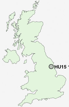
Postcode : HU15 1, East Riding Of Yorkshire
Postcodes in the HU15 1 district. Covering areas such as Brantingham, Welton, Brough, Elloughton, Broomfleet and East Riding of Yorkshire.
Postcode Area HU : Hull
HU15 Postcode Sectors
HU15 1 Nearby Postcode Districts
DN14 DN18 DN19 HU1 HU10 HU11 HU13 HU14 HU15 HU16 HU2 HU20 HU3 HU4 HU5 HU6 HU7 HU8 HU9
Stations near to HU15 1
Brough Rail Station about 1.73 miles away.Ferriby Rail Station about 1.76 miles away.
HU15 1 Schools
South Hunsley SchoolWelton Primary School
Brough Primary School
Elloughton Primary School
North Ferriby Church of England Voluntary Controlled Primary School
UK Search
Antique Jewellery
including Antique Engagement Rings for sale from UK Antique specialists.