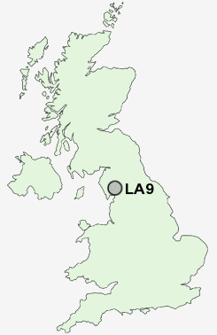
Postcode : LA9, Cumbria
Postcodes in the LA9 sector. Covering areas such as Oxenholme, High Park, Burneside, Kendal, Mintsfeet, Natland, Barrows Green, Kentrigg and Cumbria.
Postcode Area LA : Lancaster
LA9 Postcode Sectors
LA9 Nearby Postcode Districts
LA10 LA21 LA22 LA23 LA7 LA8 LA9
Stations near to LA9
Kendal Rail Station about 0.5 miles away.Oxenholme Lake District Rail Station about 1.61 miles away.
Burneside (Cumbria) Rail Station about 2.3 miles away.
LA9 Schools
Stramongate Primary SchoolGhyllside Primary School
Kirkbie Kendal School
Dean Gibson Catholic Primary School
Heron Hill Primary School
Vicarage Park CofE Primary School
Castle Park School
St Thomas's CofE Primary School
The Queen Katherine School
St Mark's CofE Primary School
UK Search
Antique Jewellery
including Antique Engagement Rings for sale from UK Antique specialists.