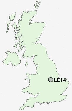
Postcode : LE14, Leicestershire, Nottinghamshire
Postcodes in the LE14 sector. Covering areas such as Eastwell, Stapleford, Sproxton, Hoby, Saltby, Wycomb, Brentingby, Goadby Marwood, Burrough on the Hill, Potter Hill, Asfordby Hill, Harby, Wyfordby, Thorpe Arnold, Freeby and Leicestershire in Nottinghamshire.
Postcode Area LE : Leicester
LE14 Postcode Sectors
LE14 3 Ab Kettleby, Asfordby, Asfordby Hill, Broughton Lodges, Grimston
LE14 2 Ashby Folville, Brooksby, Burrough on the Hill, Burton Lazars, Coston
LE14 2 Ashby Folville, Brooksby, Burrough on the Hill, Burton Lazars, Coston
LE14 Nearby Postcode Districts
Stations near to LE14
Melton Mowbray Rail Station about 1.63 miles away.LE14 Schools
St Mary's (Melton Mowbray) Church of England Primary SchoolJohn Ferneley High School
The Grove Primary School
Brownlow School
The Long Field High School
Saint Francis Catholic Primary School
Asfordby Hill Primary School
Ab Kettleby Community Primary School
UK Search
Antique Jewellery
including Antique Engagement Rings for sale from UK Antique specialists.