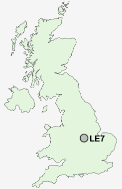
Postcode : LE7, Leicestershire
Postcodes in the LE7 sector. Covering areas such as Marefield, Hungarton, Cold Newton, Cropston, Thrussington, Anstey, East Norton, Thurcaston, Scraptoft, Rothley, Beeby, Loddington, Ratcliffe on the Wreake, Barsby, Noseley and Leicestershire.
Postcode Area LE : Leicester
LE7 Postcode Sectors
LE7 7 Anstey, Cropston, Rothley, Rothley Plain, Thurcaston
LE7 3 Barkby, Barkby Thorpe, Beeby, Queniborough, South Croxton
LE7 4 Barsby, Cossington, East Goscote, Gaddesby, Ratcliffe on the Wreake
LE7 3 Barkby, Barkby Thorpe, Beeby, Queniborough, South Croxton
LE7 4 Barsby, Cossington, East Goscote, Gaddesby, Ratcliffe on the Wreake
LE7 Nearby Postcode Districts
CV13 LE1 LE11 LE12 LE13 LE15 LE18 LE2 LE3 LE4 LE5 LE6 LE65 LE67 LE7
Stations near to LE7
Syston Rail Station about 1.27 miles away.LE7 Schools
Roundhill Community CollegeSandfield Close Primary School
Kestrels' Field Primary School
Wreake Valley Community College
Herrick Primary School
UK Search
Antique Jewellery
including Antique Engagement Rings for sale from UK Antique specialists.