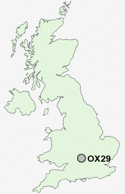
Postcode : OX29, Oxfordshire
Postcodes in the OX29 sector. Covering areas such as Cassington, Stonesfield, Long Hanborough, Hailey, Bushey Ground, West End, Field Assarts, Ducklington, Barnard Gate, Asthall Leigh, Charterville Allotments, Standlake, Church Hanborough, Moreton and Oxfordshire.
Postcode Area OX : Oxford
OX29 Postcode Sectors
OX29 9 Asthall Leigh, Chimney-end, Crawley, Delly End, Field Assarts
OX29 6 Barnard Gate, Church End, East End, High Cogges, New Yatt
OX29 5 Blackditch, Hardwick, Moreton, Northmoor, Stanton Harcourt
OX29 7 Brighthampton, Curbridge, Ducklington, Newbridge, Rack End
OX29 6 Barnard Gate, Church End, East End, High Cogges, New Yatt
OX29 5 Blackditch, Hardwick, Moreton, Northmoor, Stanton Harcourt
OX29 7 Brighthampton, Curbridge, Ducklington, Newbridge, Rack End
OX29 0 Bushey Ground, Charterville Allotments, Little Minster, Minster Lovell, Worsham
OX29 4 Cassington, Eynsham, Swinford, Worton
OX29 8 Church Hanborough, Combe, East End, Freeland, Long Hanborough
OX29 4 Cassington, Eynsham, Swinford, Worton
OX29 8 Church Hanborough, Combe, East End, Freeland, Long Hanborough
OX29 Nearby Postcode Districts
OX1 OX18 OX2 OX20 OX28 OX29 OX3 OX33 OX4 OX44 OX5 OX8
Stations near to OX29
Combe (Oxon) Rail Station about 3.12 miles away.OX29 Schools
North Leigh Church of England (Controlled) SchoolMadley Brook Community Primary School
Wood Green School
Freeland Church of England Primary School
UK Search
Antique Furniture
1000s of pieces of Antique Furniture for sale from British antique dealers.