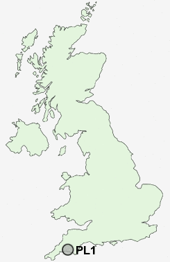
Postcode : PL1, Plymouth, Devon
Postcodes in the PL1 sector. Covering areas such as Brook, East Taphouse, Lower Treworrick, Golberdon, Thorne Moor, St Giles on the Heath, Billacott, Launceston, Menheniot, Portwrinkle, Lewannick, Brazacott, Bowling Green, Tredinnick, St Pinnock, Cornwall, Devon and Plymouth.
Postcode Area PL : Plymouth
PL1 Postcode Sectors
PL1 Nearby Postcode Districts
PL1 PL10 PL11 PL12 PL13 PL14 PL2 PL21 PL3 PL4 PL5 PL6 PL7 PL8 PL9 TQ10 TQ7
Stations near to PL1
Plymouth Rail Station about 0.64 miles away.Devonport Rail Station about 0.94 miles away.
Dockyard (Plymouth) Rail Station about 1.27 miles away.
Keyham Rail Station about 1.75 miles away.
St Budeaux Ferry Road Rail Station about 2.57 miles away.
St Budeaux Victoria Road Rail Station about 2.62 miles away.
PL1 Schools
Pilgrim Primary SchoolStoke Damerel Community College
Mount Street Primary School
Plymouth High School for Girls
Parkside Community Technology College
Montpelier Primary School
Devonport High School for Girls
Prince Rock Primary School
Lipson Community College
UK Search
Antique Furniture
1000s of pieces of Antique Furniture for sale from British antique dealers.