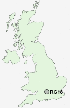
Postcode : RG18, West Berkshire, Berkshire
Postcodes in the RG18 sector. Covering areas such as Hermitage, Turner's Green, Wellhouse, Westrop Green, Cold Ash, Curridge, Bothampstead, Oare, Hampstead Norreys, Burnt Hill, Frilsham, Eling, Little Hungerford, Bucklebury Alley and West Berkshire.
Postcode Area RG : Reading
RG18 Postcode Sectors
RG18 9 Ashmore Green, Bucklebury Alley, Cold Ash, Curridge, Eling
RG18 0 Bothampstead, Burnt Hill, Hampstead Norreys, Yattendon
RG18 0 Bothampstead, Burnt Hill, Hampstead Norreys, Yattendon
RG18 Nearby Postcode Districts
RG1 RG10 RG14 RG17 RG18 RG19 RG2 RG20 RG26 RG30 RG31 RG4 RG41 RG5 RG6 RG7 RG8
Stations near to RG18
Thatcham Rail Station about 2.71 miles away.RG18 Schools
Brockhurst and Marlston House SchoolsSt Finian's Catholic Primary School
Cold Ash St Mark's C.E. School
Downe House
Bucklebury C.E. Primary School
UK Search
Antique Furniture
1000s of pieces of Antique Furniture for sale from British antique dealers.