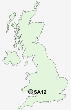
Postcode : SA12, Neath Port Talbot
Postcodes in the SA12 sector. Covering areas such as Baglan, Port Talbot, Cwmafan, Sandfields, Aberavon, Pantdu, Brynbryddan, Cwm, Corlannau, Rock, Caerhendy, Cerrig Llwydion, Efail-f, Pwll-y-glaw, Tonmawr and Neath Port Talbot.
Postcode Area SA : Swansea
SA12 Postcode Sectors
SA12 Nearby Postcode Districts
CF31 CF32 CF33 CF34 CF35 CF39 CF40 CF41 CF42 CF43 CF72 SA1 SA10 SA11 SA12 SA13 SA15 SA2 SA3 SA4 SA5 SA6 SA7
Stations near to SA12
Baglan Rail Station about 0.94 miles away.Port Talbot Parkway Rail Station about 1.19 miles away.
Briton Ferry Rail Station about 2.39 miles away.
UK Search
Antique Furniture
1000s of pieces of Antique Furniture for sale from British antique dealers.