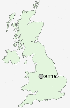
Postcode : ST15, Staffordshire
Postcodes in the ST15 sector. Covering areas such as Aston-By-Stone, Burybank, Shallowford, Crossgate, Walton, Little Stoke, Coldmeece, Mossgate, Townend, Oulton Grange, Swynnerton, Oulton, Stone, Dayhills, Stonefield and Staffordshire.
Postcode Area ST : Stoke on Trent
ST15 Postcode Sectors
ST15 Nearby Postcode Districts
CW3 ST10 ST11 ST12 ST14 ST15 ST16 ST18 ST21 ST3 ST4 TF9
Stations near to ST15
Stone Rail Station about 0.65 miles away.Norton Bridge Rail Station about 2.9 miles away.
Barlaston Rail Station about 3.08 miles away.
ST15 Schools
St Dominic's Catholic Primary SchoolSt Dominic's Priory School
Christ Church CofE (C) First School
Manor Hill First School
Pirehill First School
Christ Church CofE (A) Middle School
Walton Priory Middle School
Alleyne's High School
St Michael's CofE (C) First School
Oulton CofE (C) First School
UK Search
Antique Furniture
1000s of pieces of Antique Furniture for sale from British antique dealers.