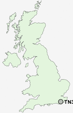
Postcode : TN33, East Sussex
Postcodes in the TN33 sector. Covering areas such as Canadia, Battle, Penhurst, Hazard's Green, Hooe Common, Starr's Green, Pestalozzi International Village, Whatlington, Steven's Crouch, Crowhurst, Telham, Lower Street, Ninfield, Hall's Close and East Sussex.
Postcode Area TN : Tonbridge
TN33 Postcode Sectors
TN33 Nearby Postcode Districts
BN24 BN26 BN27 TN19 TN21 TN22 TN31 TN32 TN33 TN34 TN35 TN36 TN37 TN38 TN39 TN40
Stations near to TN33
Battle Rail Station about 0.8 miles away.Crowhurst Rail Station about 1.82 miles away.
TN33 Schools
Battle and Langton Church of England Primary SchoolBattle Abbey School
Claverham Community College
Catsfield Church of England Primary School
UK Search
Antique Furniture
1000s of pieces of Antique Furniture for sale from British antique dealers.