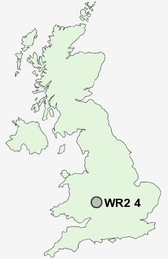
Postcode : WR2 4, Worcester, Worcestershire
Postcodes in the WR2 4 district. Covering areas such as Old Hills, Pole Elm, Collett's Green, Bowling Green, King's End, Lower Wick, Bastonford, Powick, Wick Episcopi, Brayswick, Diglis, Dawshill, Callow End, Stanbrook and Worcester in Worcestershire.
Postcode Area WR : Worcester
WR2 Postcode Sectors
WR2 4 Bastonford, Bowling Green, Brayswick, Callow End, Collett's Green
WR2 5 Broadmore Green, Crown East, Rushwick, St John's, Upper Wick
WR2 5 Broadmore Green, Crown East, Rushwick, St John's, Upper Wick
WR2 4 Nearby Postcode Districts
B49 B50 B80 B96 HR7 WR1 WR10 WR11 WR13 WR14 WR2 WR3 WR4 WR5 WR6 WR7 WR8 WR9
Stations near to WR2 4
Worcester Foregate Street Rail Station about 1.4 miles away.Worcester Shrub Hill Rail Station about 1.76 miles away.
WR2 4 Schools
Pitmaston Primary SchoolChristopher Whitehead Language College
Dines Green Primary School
Oldbury Park Primary School
Cherry Orchard Primary School
Stanley Road Primary School
St Mary's Convent School
UK Search
Antique Furniture
1000s of pieces of Antique Furniture for sale from British antique dealers.