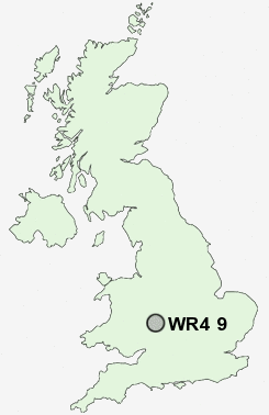
Postcode : WR4 9, Worcester, Worcestershire
Postcodes in the WR4 9 district. Covering areas such as Brickfields, Tolladine and Worcester in Worcestershire.
Postcode Area WR : Worcester
WR4 Postcode Sectors
WR4 9 Nearby Postcode Districts
B49 B50 B80 B96 HR7 WR1 WR10 WR14 WR2 WR3 WR4 WR5 WR6 WR7 WR9
Stations near to WR4 9
Worcester Shrub Hill Rail Station about 0.49 miles away.Worcester Foregate Street Rail Station about 0.97 miles away.
WR4 9 Schools
Gorse Hill Community Primary SchoolStanley Road Primary School
The Fairfield Community Primary School
Nunnery Wood Primary School
Worcester, Nunnery Wood High School
Elgar Technology College
Worcester, Cranham Primary School
Perdiswell Primary School
Cherry Orchard Primary School
Christopher Whitehead Language College
Oldbury Park Primary School
UK Search
Antique Furniture
1000s of pieces of Antique Furniture for sale from British antique dealers.