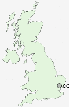
Postcode : CO6, Essex
Postcodes in the CO6 sector. Covering areas such as Withermarsh Green, Bower House Tye, Wormingford, Surrex, Don Johns, Mill Street, Wakes Colne, Copford Green, Scotland Street, Stoke-by-Nayland, Rose Green, Thorington Street, Honey Tye, Great Horkesley and Essex in Suffolk.
Postcode Area CO : Colchester
CO6 Postcode Sectors
CO6 3 Aldham, Fordham, Fordstreet, Gallows Green, Rotchfords
CO6 5 Bell's Corner, Bower House Tye, Mill Street, Polstead, Polstead Heath
CO6 2 Boose's Green, Bunting's Green, Chappel, Colne Engaine, Countess Cross
CO6 5 Bell's Corner, Bower House Tye, Mill Street, Polstead, Polstead Heath
CO6 2 Boose's Green, Bunting's Green, Chappel, Colne Engaine, Countess Cross
CO6 1 Broad Green, Coggeshall, Coggeshall Hamlet, Copford, Copford Green
CO6 4 Cock Street, Great Horkesley, Honey Tye, Leavenheath, Little Horkesley
CO6 4 Cock Street, Great Horkesley, Honey Tye, Leavenheath, Little Horkesley
CO6 Nearby Postcode Districts
CM7 CO1 CO11 CO2 CO3 CO4 CO6 CO7 CO8 CO9 IP9
Stations near to CO6
Chappel & Wakes Colne Rail Station about 1.35 miles away.Marks Tey Rail Station about 2.99 miles away.
Bures Rail Station about 3.38 miles away.
CO6 Schools
Fordham All Saints Church of England Voluntary Controlled Primary SchoolChappel Church of England Controlled Primary School
Holy Trinity CofE Primary School, Eight Ash Green and Aldham
UK Search
Antique Clocks
Browse Antique Clocks for sale from British antique dealers.