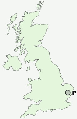
Postcode : IP14, Suffolk
Postcodes in the IP14 sector. Covering areas such as Saxham Street, Combs, Tan Office, Ringshall Stocks, Wetherden, Battisford Tye, Little Finborough, Earl Stonham, Canham's Green, Ward Green, Broad Green, Aspall, Cotton, Ford's Green, Harleston and Suffolk.
Postcode Area IP : Ipswich
IP14 Postcode Sectors
IP14 6 Ashfield, Ashfield Cum Thorpe, Aspall, Debenham, East End
IP14 4 Bacton, Bacton Green, Brown Street, Canham's Green, Cotton
IP14 3 Base Green, Borley Green, Buxhall, Buxhall Fen Street, Great Finborough
IP14 4 Bacton, Bacton Green, Brown Street, Canham's Green, Cotton
IP14 3 Base Green, Borley Green, Buxhall, Buxhall Fen Street, Great Finborough
IP14 2 Battisford, Battisford Tye, Charles Tye, Combs, Combs Ford
IP14 5 Blacksmith's Green, Broad Green, Brockford Green, Brockford Street, Earl Stonham
IP14 5 Blacksmith's Green, Broad Green, Brockford Green, Brockford Street, Earl Stonham
IP14 Nearby Postcode Districts
IP13 IP14 IP29 IP30 IP31 IP32 IP33 IP6
Stations near to IP14
Stowmarket Rail Station about 1.86 miles away.IP14 Schools
Freeman Community Primary SchoolStowupland High School
Old Newton Church of England Voluntary Controlled Primary School
Cedars Park Community Primary School
UK Search
Antique Jewellery
including Antique Engagement Rings for sale from UK Antique specialists.
