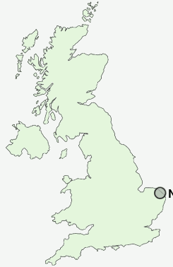
Postcode : NR29 5, Norfolk
Postcodes in the NR29 5 district. Covering areas such as How Hill, Catfield, Potter Heigham, Repps, Johnson Street, Wood Street, Sharp Street, Ludham, Narrowgate Corner, Rollesby, Fritton, Bastwick and Norfolk.
Postcode Area NR : Norwich
NR29 Postcode Sectors
NR29 5 Bastwick, Catfield, Fritton, How Hill, Johnson Street
NR29 3 Billockby, California, Clippesby, Filby, Fleggburgh
NR29 3 Billockby, California, Clippesby, Filby, Fleggburgh
NR29 5 Nearby Postcode Districts
NR10 NR11 NR12 NR28 NR29 NR6 NR8
NR29 5 Schools
Catfield Voluntary Controlled CofE Primary SchoolSutton CofE VC Infant School
Stalham Junior School
Stalham High School
Stalham Community Infant & Pre-School
UK Search
Antique Furniture
1000s of pieces of Antique Furniture for sale from British antique dealers.