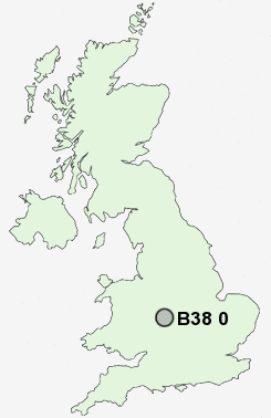
Postcode : B38 0, Birmingham, Worcestershire
Postcodes in the B38 0 district. Covering areas such as Headley Heath, Forhill and Birmingham in Worcestershire.
Postcode Area B : Birmingham
B38 Postcode Sectors
B38 0 Nearby Postcode Districts
B1 B10 B11 B12 B13 B14 B15 B16 B17 B2 B25 B26 B27 B28 B29 B3 B30 B31 B32 B33 B37 B38 B4 B40 B45 B47 B48 B5 B60 B61 B62 B63 B64 B65 B67 B68 B9 B90 B91 B92 B93 B94 B97 B98 CV1 CV32 CV4 CV5 CV6 CV7 CV8 DY10 DY11 DY13 DY5 DY7 DY8 DY9
Stations near to B38 0
Wythall Rail Station about 1.76 miles away.Kings Norton Rail Station about 2.22 miles away.
Earlswood (West Midlands) Rail Station about 2.34 miles away.
Bournville Rail Station about 2.93 miles away.
B38 0 Schools
Wythall, Meadow Green PrimaryHollywood, The Coppice Primary School
Kings Norton High School
Bells Farm Primary School
Primrose Hill Community School
Hollywood Primary School
Broadmeadow Junior School
Broadmeadow Infant School
UK Search
Antique Clocks
Browse Antique Clocks for sale from British antique dealers.