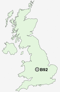
Postcode : B92, Solihull, West Midlands
Postcodes in the B92 sector. Covering areas such as Barston, Middle Bickenhill, Walsal End, Olton, Bradnock's Marsh, Hook End, Wootton Green, Ulverley Green, Bickenhill, Hampton in Arden, Eastcote and Solihull in West Midlands.
Postcode Area B : Birmingham
B92 Postcode Sectors
B92 Nearby Postcode Districts
B1 B10 B11 B12 B13 B14 B15 B16 B17 B18 B19 B2 B20 B21 B23 B24 B25 B26 B27 B28 B29 B3 B30 B31 B32 B33 B34 B35 B36 B37 B38 B4 B40 B42 B45 B46 B47 B48 B5 B6 B61 B62 B63 B64 B65 B66 B67 B68 B69 B7 B70 B71 B8 B9 B90 B91 B92 B93 B94 CV1 CV10 CV11 CV12 CV2 CV3 CV4 CV5 CV6 CV7 CV8 DY1 DY2 DY3 DY4 DY5 DY6 DY8 DY9
Stations near to B92
Olton Rail Station about 1.29 miles away.Solihull Rail Station about 1.61 miles away.
Acocks Green Rail Station about 2.11 miles away.
Birmingham International Rail Station about 2.27 miles away.
Marston Green Rail Station about 2.29 miles away.
Widney Manor Rail Station about 2.77 miles away.
Lea Hall Rail Station about 3.13 miles away.
Stechford Rail Station about 3.72 miles away.
B92 Schools
Coppice Junior SchoolLode Heath School and Sports College
Lyndon School Humanities College
Daylesford Infant School
Mapledene Primary School
Langley School
UK Search
Antique Clocks
Browse Antique Clocks for sale from British antique dealers.