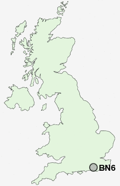
Postcode : BN6, West Sussex
Postcodes in the BN6 sector. Covering areas such as Westmeston, Sayers Common, Goddards' Green, Albourne, Ditchling, Clayton, Albourne Green, Keymer, Bedlam Street, Blackstone, Hurstpierpoint, Hassocks, High Cross, Streat and West Sussex in East Sussex.
Postcode Area BN : Brighton
BN6 Postcode Sectors
BN6 Nearby Postcode Districts
BN1 BN13 BN14 BN15 BN3 BN41 BN42 BN43 BN44 BN45 BN5 BN6 BN7 BN8 RH15 RH16 RH17 RH20 TN22
Stations near to BN6
Hassocks Rail Station about 0.4 miles away.Burgess Hill Rail Station about 2.01 miles away.
Wivelsfield Rail Station about 2.79 miles away.
BN6 Schools
Hassocks Infant SchoolDownlands Community School
The Windmills Junior School
Hurstpierpoint College
London Meed Community Primary School
Oakmeeds Community College
UK Search
Antique Clocks
Browse Antique Clocks for sale from British antique dealers.