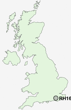
Postcode : RH16, West Sussex
Postcodes in the RH16 sector. Covering areas such as Walstead, Bolnore, Lindfield, Haywards Heath and West Sussex.
Postcode Area RH : Redhill
RH16 Postcode Sectors
RH16 Nearby Postcode Districts
BN5 BN6 BN8 RH12 RH13 RH14 RH15 RH16 RH17 RH18 RH20 TN20 TN21 TN22 TN6 TN7
Stations near to RH16
Haywards Heath Rail Station about 0.43 miles away.Wivelsfield Rail Station about 2.8 miles away.
Burgess Hill Rail Station about 3.59 miles away.
RH16 Schools
Heyworth Primary SchoolOathall Community College
Blackthorns Community Primary School, Lindfield
Tavistock and Summerhill School
Lindfield Primary School
Northlands Wood Community Primary School
Harlands Primary School
Warden Park School
UK Search
Antique Furniture
1000s of pieces of Antique Furniture for sale from British antique dealers.