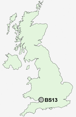
Postcode : BS13, City Of Bristol, Bristol
Postcodes in the BS13 sector. Covering areas such as Withywood, Bishopsworth, Highridge, Headley Park, Yanley, Hartcliffe, Bedminster Down and City of Bristol in Somerset.
Postcode Area BS : Bristol
BS13 Postcode Sectors
BS13 Nearby Postcode Districts
BA1 BA15 BA2 BS1 BS10 BS11 BS13 BS14 BS15 BS16 BS2 BS20 BS21 BS22 BS23 BS24 BS25 BS29 BS3 BS30 BS31 BS39 BS4 BS40 BS41 BS48 BS49 BS5 BS6 BS7 BS8 BS9 BS99 SN13
Stations near to BS13
Parson Street Rail Station about 1.48 miles away.Bedminster Rail Station about 2.07 miles away.
Bristol Temple Meads Rail Station about 2.87 miles away.
Lawrence Hill Rail Station about 3.76 miles away.
BS13 Schools
Fair Furlong Primary SchoolGay Elms Primary School
Hareclive Primary School
Highridge Infant School
Bedminster Down School
Four Acres Primary School
Greenfield Primary School
Teyfant Community School
Hartcliffe Engineering Community College
Perry Court Infant School
Compass Point: South Street School and Children's Centre
UK Search
Antique Clocks
Browse Antique Clocks for sale from British antique dealers.