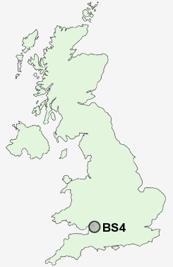
Postcode : BS4, City Of Bristol, Bristol
Postcodes in the BS4 sector. Covering areas such as Chelvey Batch, Potters Hill, Chew Magna, Frost Hill, Strode, Novers Park, Filwood Park, Lower Langford, Bourne, Townsend, Charterhouse, Honey Hall, Wraxall, Winford, City of Bristol, North Somerset and Bath and North East Somerset in Bath Avon.
Postcode Area BS : Bristol
BS4 Postcode Sectors
BS4 Nearby Postcode Districts
BA1 BA15 BA2 BS1 BS10 BS11 BS13 BS14 BS15 BS16 BS2 BS20 BS21 BS22 BS3 BS30 BS31 BS34 BS36 BS4 BS40 BS41 BS48 BS49 BS5 BS6 BS7 BS8 BS9 BS99 SN13 SN14
Stations near to BS4
Bristol Temple Meads Rail Station about 1.31 miles away.Bedminster Rail Station about 1.47 miles away.
Lawrence Hill Rail Station about 1.6 miles away.
Parson Street Rail Station about 2.02 miles away.
Stapleton Road Rail Station about 2.26 miles away.
Montpelier Rail Station about 2.59 miles away.
Redland Rail Station about 2.83 miles away.
BS4 Schools
Brislington Enterprise CollegeBarton Hill Primary
Perry Court Infant School
Hannah More Primary School
The City Academy Bristol
The City Academy Bristol
Hanham High School
Greenfield Primary School
UK Search
Antique Clocks
Browse Antique Clocks for sale from British antique dealers.