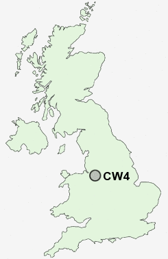
Postcode : CW4, Cheshire East, Cheshire
Postcodes in the CW4 sector. Covering areas such as Sproston Green, Holmes Chapel, Cranage, Kemincham, Blackden Heath, Rudheath Woods, Goostrey, Jodrell Bank, Sandlow Green, Twemlow Green and Cheshire East.
Postcode Area CW : Crewe
CW4 Postcode Sectors
CW4 Nearby Postcode Districts
CW10 CW11 CW12 CW4 CW6 CW7 CW8 CW9 SK10 SK11 ST8 WA16 WA6
Stations near to CW4
Holmes Chapel Rail Station about 0.58 miles away.Goostrey Rail Station about 1.37 miles away.
CW4 Schools
Hermitage Primary SchoolHolmes Chapel Primary School
Holmes Chapel Comprehensive School
Goostrey Community Primary School
UK Search
Antique Clocks
Browse Antique Clocks for sale from British antique dealers.