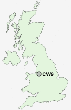
Postcode : CW9, Cheshire West And Chester, Cheshire
Postcodes in the CW9 sector. Covering areas such as Davenham, Arley Green, Broken Cross, Antrobus, Lach Dennis, Mere Heath, Leftwich, Higher Shurlach, Great Budworth, Bate Heath, Whatcroft, Budworth Heath, Moulton, Comberbach, Frandley and Cheshire West and Chester.
Postcode Area CW : Crewe
CW9 Postcode Sectors
CW9 6 Anderton, Antrobus, Arley, Arley Green, Bate Heath
CW9 7 Broken Cross, Higher Shurlach, Lach Dennis, Lostock Gralam, Lostock Green
CW9 7 Broken Cross, Higher Shurlach, Lach Dennis, Lostock Gralam, Lostock Green
CW9 Nearby Postcode Districts
CH2 CH3 CW10 CW12 CW4 CW6 CW7 CW8 CW9 L24 SK10 SK11 SK9 WA16 WA6 WA7
Stations near to CW9
Northwich Rail StationGreenbank Rail Station about 1.47 miles away.
Lostock Gralam Rail Station about 1.6 miles away.
CW9 Schools
Victoria Road Primary SchoolRudheath Community High School
Rudheath Community Primary School
Charles Darwin Community Primary School
The County High School Leftwich
Kingsmead Primary School
Winnington Park Community Primary and Nursery School
Hartford High School a Specialist Languages and Sports College
Hartford Manor Primary School & Nursery
Wincham Community Primary School
UK Search
Antique Clocks
Browse Antique Clocks for sale from British antique dealers.