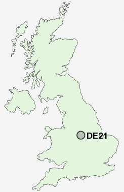
Postcode : DE21, Derby, Derbyshire
Postcodes in the DE21 sector. Covering areas such as Chaddesden, Spondon, Oakwood, Cherrytree Hill, Little Eaton, Breadsall, Breadsall Hilltop, Coxbench, Horsley and Derby in Derbyshire.
Postcode Area DE : Derby
DE21 Postcode Sectors
DE21 4 Breadsall, Breadsall Hilltop
DE21 6 Chaddesden, Cherrytree Hill
DE21 5 Coxbench, Horsley, Little Eaton
DE21 6 Chaddesden, Cherrytree Hill
DE21 5 Coxbench, Horsley, Little Eaton
DE21 Nearby Postcode Districts
DE1 DE21 DE22 DE23 DE24 DE3 DE56 DE6 DE65 DE7 DE72 DE73 DE74 DE75 NG1 NG10 NG11 NG12 NG14 NG16 NG2 NG3 NG4 NG5 NG6 NG7 NG8 NG9
Stations near to DE21
Spondon Rail Station about 1.68 miles away.Derby Rail Station about 1.73 miles away.
Peartree Rail Station about 3.02 miles away.
DE21 Schools
Chaddesden Park Primary SchoolLees Brook Community Sports College
Da Vinci Community School
Derwent Community School
Springfield Primary School
Borrow Wood Primary School
Borrow Wood Infant School
UK Search
Antique Jewellery
including Antique Engagement Rings for sale from UK Antique specialists.