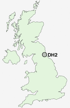
Postcode : DH2, County Durham
Postcodes in the DH2 sector. Covering areas such as Pelton Fell, Urpeth, Tan Hills, Pelton, Kimblesworth, West Pelton, South Pelaw, High Urpeth, Grange Villa, Plawsworth, Ouston, Newfield, High Handenhold, Chester Moor and County Durham.
Postcode Area DH : Durham
DH2 Postcode Sectors
DH2 3 Chester Moor, Grange Villa, Kimblesworth, Nettlesworth, Plawsworth
DH2 1 High Handenhold, High Urpeth, Ouston, Pelton, Perkinsville
DH2 1 High Handenhold, High Urpeth, Ouston, Pelton, Perkinsville
DH2 Nearby Postcode Districts
DH1 DH2 DH3 DH4 DH5 DH7 DH8 DH9 NE10 NE11 NE16 NE17 NE21 NE35 NE36 NE37 NE38 NE39 NE43 NE44 NE8 NE9 SR1 SR2 SR3 SR4 SR5 SR6 SR7 SR8 SR9
Stations near to DH2
Chester-le-Street Rail Station about 0.84 miles away.DH2 Schools
South Pelaw Infant SchoolBullion Lane Primary School
Cestria Primary School
Roseberry Sports and Community College
Park View Community School
Roseberry Primary and Nursery School
Red Rose Primary School
Ouston Infant School
Ouston Primary School
UK Search
Antique Jewellery
including Antique Engagement Rings for sale from UK Antique specialists.