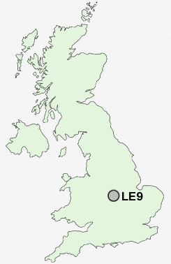
Postcode : LE9, Leicestershire
Postcodes in the LE9 sector. Covering areas such as Huncote, Normanton Turville, Kirkby Mallory, Merry Lees, Sapcote, Elmesthorpe, Stoney Stanton, Newtown Unthank, Hunt's Lane, Primethorpe, Potters Marston, Cosby, Kirby Fields, Barwell, Earl Shilton and Leicestershire.
Postcode Area LE : Leicester
LE9 Postcode Sectors
LE9 8 Barwell, Stapleton
LE9 9 Botcheston, Brascote, Desford, Hunt's Lane, Merry Lees
LE9 6 Broughton Astley, Primethorpe, Sutton in the Elms
LE9 1 Cosby
LE9 9 Botcheston, Brascote, Desford, Hunt's Lane, Merry Lees
LE9 6 Broughton Astley, Primethorpe, Sutton in the Elms
LE9 1 Cosby
LE9 3 Croft, Huncote, Potters Marston
LE9 7 Earl Shilton, Elmesthorpe, Kirkby Mallory, Normanton Turville, Peckleton
LE9 2 Kirby Fields, Kirby Muxloe, Newtown Unthank
LE9 4 Sapcote, Stoney Stanton
LE9 7 Earl Shilton, Elmesthorpe, Kirkby Mallory, Normanton Turville, Peckleton
LE9 2 Kirby Fields, Kirby Muxloe, Newtown Unthank
LE9 4 Sapcote, Stoney Stanton
LE9 Nearby Postcode Districts
B77 B78 B79 CV10 CV11 CV12 CV13 CV9 LE1 LE10 LE16 LE18 LE2 LE3 LE4 LE5 LE6 LE8 LE9
LE9 Schools
Saint Peters Catholic Primary School, Earl Shilton, LeicestershireWeavers Close Church of England Primary School
Townlands Church of England Primary School
Manorfield Church of England Primary School Stoney Stanton
Thurlaston Church of England Primary School
UK Search
Antique Jewellery
including Antique Engagement Rings for sale from UK Antique specialists.