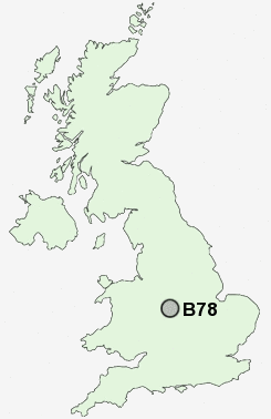
Postcode : B78, Staffordshire
Postcodes in the B78 sector. Covering areas such as Hints, Drayton Bassett, Piccadilly, Dordon, Mile Oak, Stoke End, Fazeley, Birchmoor, Hopwas, Bonehill, Hunts Green, St Helena, Middleton, Edge Hill and Staffordshire in Warwickshire.
Postcode Area B : Birmingham
B78 Postcode Sectors
B78 2 Allen End, Cliff, Edge Hill, Hunts Green, Kingsbury
B78 1 Birchmoor, Dordon, Freasley, Hall End, Polesworth
B78 1 Birchmoor, Dordon, Freasley, Hall End, Polesworth
B78 Nearby Postcode Districts
B20 B21 B23 B24 B35 B42 B43 B44 B46 B70 B71 B72 B73 B74 B75 B76 B77 B78 B79 CV10 CV11 CV13 CV9 DY4 LE10 LE9 WS1 WS10 WS11 WS12 WS13 WS14 WS2 WS3 WS4 WS5 WS6 WS7 WS8 WS9 WV11 WV12 WV13
Stations near to B78
Wilnecote (Staffs) Rail Station about 0.43 miles away.Tamworth High Level Rail Station about 2.25 miles away.
Tamworth Rail Station about 2.25 miles away.
B78 Schools
Wilnecote Junior SchoolHeathfields Infant School
Two Gates Community Primary School
Hanbury's Farm Community Primary School
Oakhill Primary School
Millfield Primary School
The Woodlands Community Primary School
UK Search
Antique Clocks
Browse Antique Clocks for sale from British antique dealers.