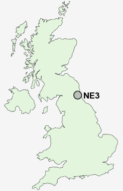
Postcode : NE3, Newcastle Upon Tyne, Tyne And Wear
Postcodes in the NE3 sector. Covering areas such as South Gosforth, Hebburn Colliery, Cleadon Park, Marsden, West Boldon, Marden, Biddick, East Boldon, Rickleton, New Town, Hebburn, Columbia, Portobello, High Shields, Monkton, Sunderland, South Tyneside, Newcastle Upon Tyne, North Tyneside and Gateshead in Tyne and Wear, Tyne And Wear.
Postcode Area NE : Newcastle
NE3 Postcode Sectors
NE3 Nearby Postcode Districts
NE1 NE10 NE11 NE12 NE13 NE15 NE16 NE17 NE18 NE2 NE20 NE21 NE23 NE25 NE26 NE27 NE28 NE29 NE3 NE30 NE31 NE32 NE33 NE34 NE35 NE36 NE37 NE39 NE4 NE40 NE41 NE42 NE43 NE44 NE45 NE5 NE6 NE7 NE8 NE9 NE99 SR5 SR6
Stations near to NE3
Manors Rail Station about 2.81 miles away.Newcastle Rail Station about 2.94 miles away.
NE3 Schools
Gosforth Junior High SchoolGosforth High School
Gosforth East Middle School
Gosforth Central Middle School
Mountfield Primary School
North Fawdon Primary School
Kenton School
UK Search
Antique Furniture
1000s of pieces of Antique Furniture for sale from British antique dealers.