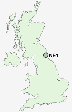
Postcode : NE1, Newcastle Upon Tyne, Tyne And Wear
Postcodes in the NE1 sector. Covering areas such as Denton Burn, Dunston Hill, Kirkwhelpington, Wideopen, West Moor, Fellside, Forest Hall, Brunswick Village, Low Westwood, Houghton, Wickham Fell, Capheaton, Townhead, Street Gate, Newcastle Upon Tyne, Gateshead, Northumberland and North Tyneside in Tyne and Wear, County Durham, Tyne And Wear.
Postcode Area NE : Newcastle
NE1 Postcode Sectors
NE1 Nearby Postcode Districts
NE1 NE10 NE11 NE12 NE13 NE15 NE16 NE17 NE18 NE2 NE20 NE21 NE25 NE26 NE27 NE28 NE29 NE3 NE30 NE31 NE32 NE33 NE34 NE35 NE36 NE37 NE38 NE39 NE4 NE40 NE41 NE42 NE43 NE44 NE5 NE6 NE7 NE8 NE9 NE99 SR1 SR2 SR3 SR4 SR5 SR6 SR9
Stations near to NE1
Manors Rail Station about 0.25 miles away.Newcastle Rail Station about 0.4 miles away.
Dunston Rail Station about 2.01 miles away.
NE1 Schools
Westgate Hill Primary SchoolHawthorn Primary School
Chillingham Road Primary School
Wingrove Primary School
Heaton Manor School
Ravenswood Primary School
UK Search
Antique Furniture
1000s of pieces of Antique Furniture for sale from British antique dealers.