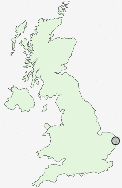
Postcode : NR32, Suffolk
Postcodes in the NR32 sector. Covering areas such as Corton, Blundeston, Gunton, Normanston, Cuckoo Green, Herringfleet, Roman Hill, Lound, Oulton, Oulton Broad, Somerleyton, Camps Heath, Bloodman's Corner, Bunker's Hill and Suffolk.
Postcode Area NR : Norwich
NR32 Postcode Sectors
NR32 Nearby Postcode Districts
Stations near to NR32
Oulton Broad North Rail Station about 1.09 miles away.Lowestoft Rail Station about 1.2 miles away.
Oulton Broad South Rail Station about 1.74 miles away.
NR32 Schools
Woods Loke Community Primary SchoolPoplars Community Primary School
Northfield St Nicholas Primary School
St Margaret's Community Primary School
Roman Hill Primary School
Meadow Community Primary School
Fen Park Community Primary School
Dell Primary School
UK Search
Antique Furniture
1000s of pieces of Antique Furniture for sale from British antique dealers.