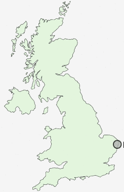
Postcode : NR33, Suffolk
Postcodes in the NR33 sector. Covering areas such as Kessingland Beach, Kessingland, Rushmere, Kirkley, Lowestoft, Pakefield, Toad Row, Black Street, Gisleham, Carlton Colville and Suffolk.
Postcode Area NR : Norwich
NR33 Postcode Sectors
NR33 8 Black Street, Carlton Colville, Gisleham, Rushmere, Toad Row
NR33 7 Kessingland, Kessingland Beach, Kirkley, Pakefield
NR33 7 Kessingland, Kessingland Beach, Kirkley, Pakefield
NR33 Nearby Postcode Districts
Stations near to NR33
Oulton Broad South Rail Station about 1.18 miles away.Oulton Broad North Rail Station about 1.65 miles away.
Lowestoft Rail Station about 1.91 miles away.
NR33 Schools
Pakefield Primary SchoolWhitton Green Community Primary School
Grove Primary School
Meadow Community Primary School
Dell Primary School
Fen Park Community Primary School
Carlton Colville Primary School
UK Search
Antique Furniture
1000s of pieces of Antique Furniture for sale from British antique dealers.