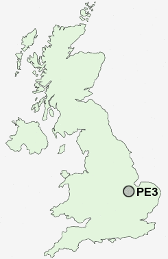
Postcode : PE3, Peterborough, Cambridgeshire
Postcodes in the PE3 sector. Covering areas such as Terrington St Clement, Fordham, Holme next the Sea, The Drove, Hilgay, East Walton, Cockley Cley, Blackborough, Stow Bridge, Necton, Burnham Overy Staithe, Fair Green, Anmer, Walpole Cross Keys, Norfolk and Peterborough in Cambridgeshire.
Postcode Area PE : Peterborough
PE3 Postcode Sectors
PE3 Nearby Postcode Districts
PE1 PE15 PE2 PE3 PE4 PE5 PE6 PE7 PE8 PE9
Stations near to PE3
Peterborough Rail Station about 1.34 miles away.PE3 Schools
Highlees Community Primary SchoolThorpe Primary School
Ravensthorpe Primary School
Eyrescroft Primary School
Gladstone Primary School
Fulbridge Primary School
The Voyager School
The Beeches Primary School
UK Search
Antique Furniture
1000s of pieces of Antique Furniture for sale from British antique dealers.