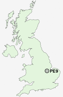
Postcode : PE9, Lincolnshire
Postcodes in the PE9 sector. Covering areas such as Bainton, Little Casterton, Geeston, Ufford, Aunby, Toll Bar, Ryhall, Ingthorpe, Tickencote, Braceborough, Collyweston, Barnack, Southorpe, Wothorpe, Pilsgate and Lincolnshire in Rutland, Cambridgeshire, Northamptonshire.
Postcode Area PE : Peterborough
PE9 Postcode Sectors
PE9 3 Aldgate, Ashton, Bainton, Barnack, Collyweston
PE9 4 Aunby, Barholm, Belmesthorpe, Braceborough, Careby
PE9 4 Aunby, Barholm, Belmesthorpe, Braceborough, Careby
PE9 Nearby Postcode Districts
LE15 PE1 PE2 PE3 PE4 PE5 PE6 PE9
Stations near to PE9
Stamford Rail Station about 0.43 miles away.PE9 Schools
Stamford Endowed SchoolsStamford St Gilberts Church of England Primary School
Queen Eleanor Technology College
The Bluecoat School, Stamford
Stamford High School
Stamford Junior School
St George's Church of England Aided Primary School
The Saint Augustine's Catholic Primary School, Stamford
The Malcolm Sargent Primary School
UK Search
Antique Furniture
1000s of pieces of Antique Furniture for sale from British antique dealers.